Log in
All resources
Create a design
183,459 Free Images of Maps With Figures
maps in the stadsarchief amsterdam
hendrik de leth
charts and maps of the royal museums greenwich
maps made in the 17th century
gerard valck
maps by pieter schenk (i)
atlantis magni tomus quartus (biblioteca comunale di trento)
description de l'universe
jan caspar philips
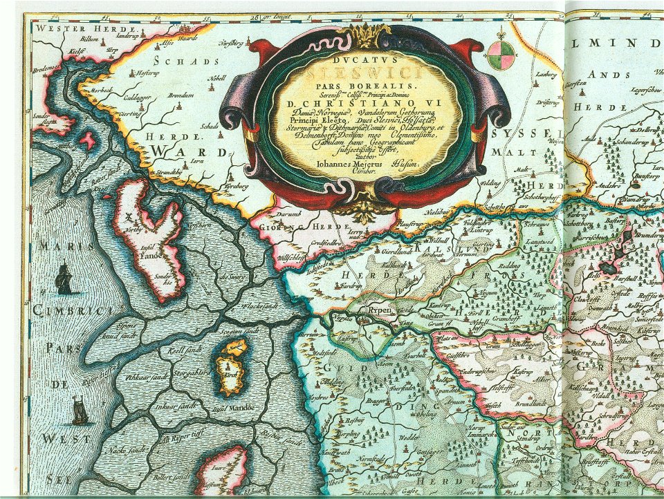
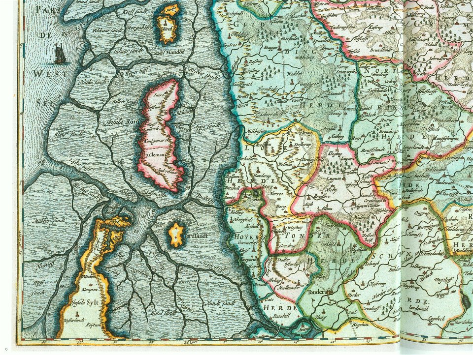
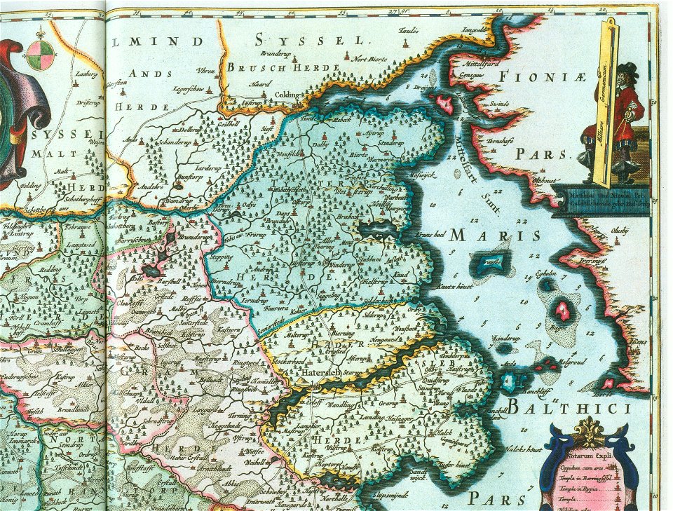
ducatus sleswici pars borealis
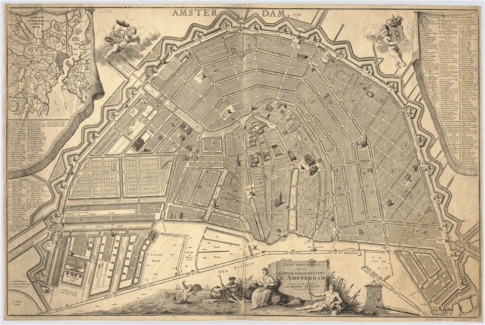
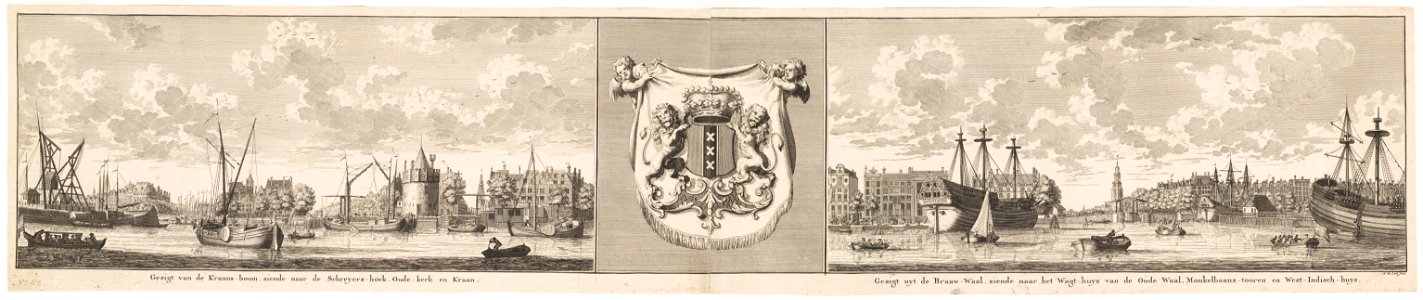
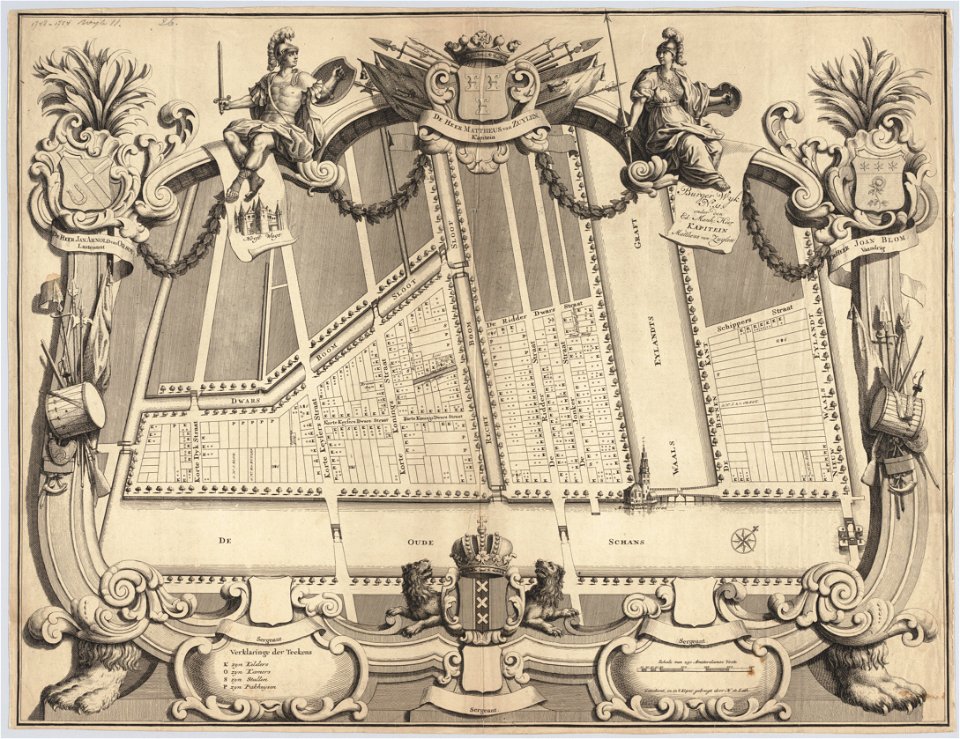
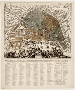
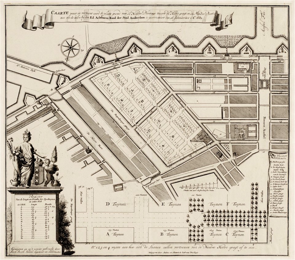
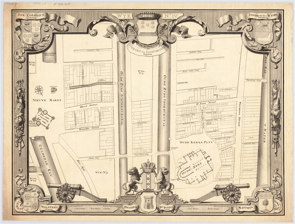
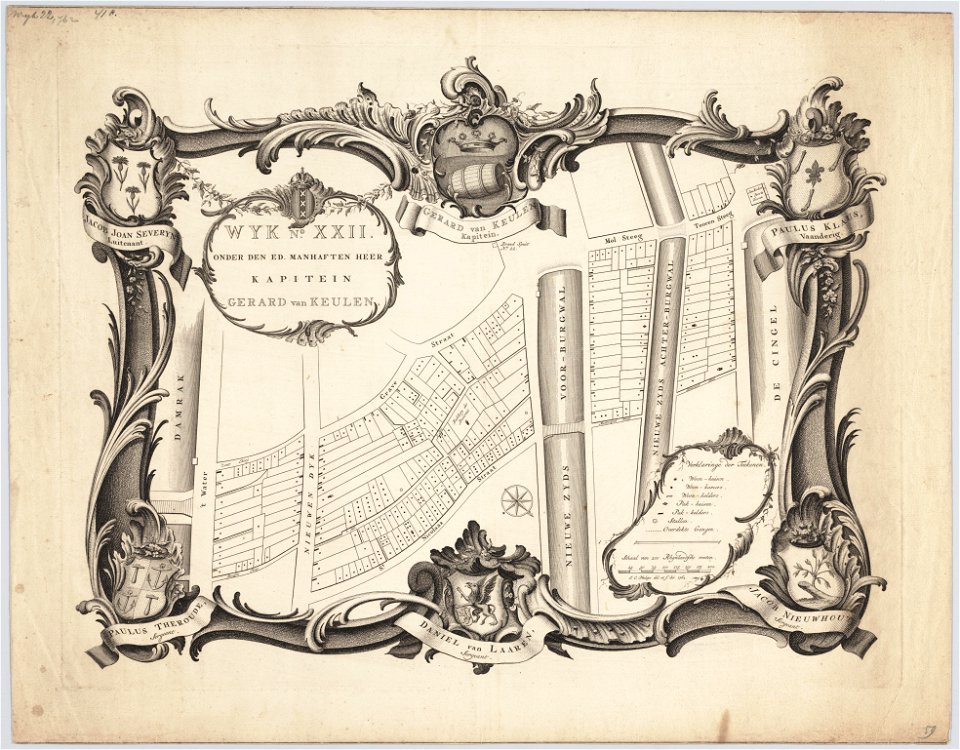
maps in the stadsarchief amsterdam
hendrik de leth
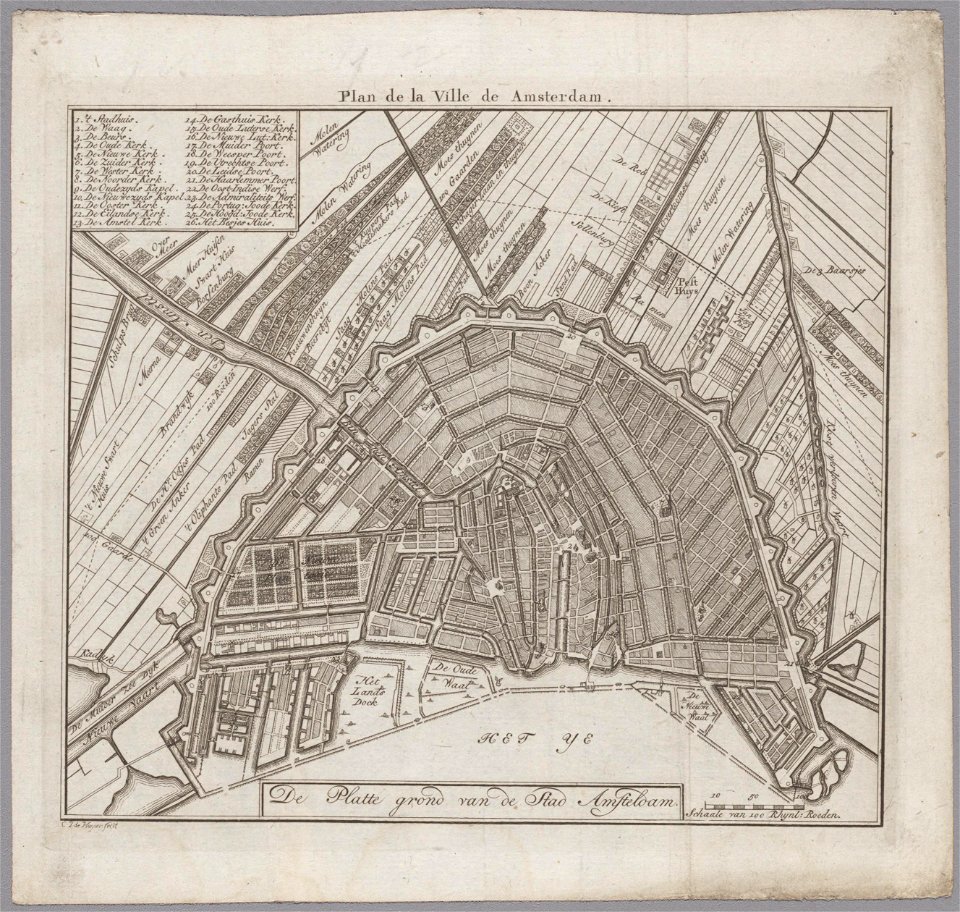
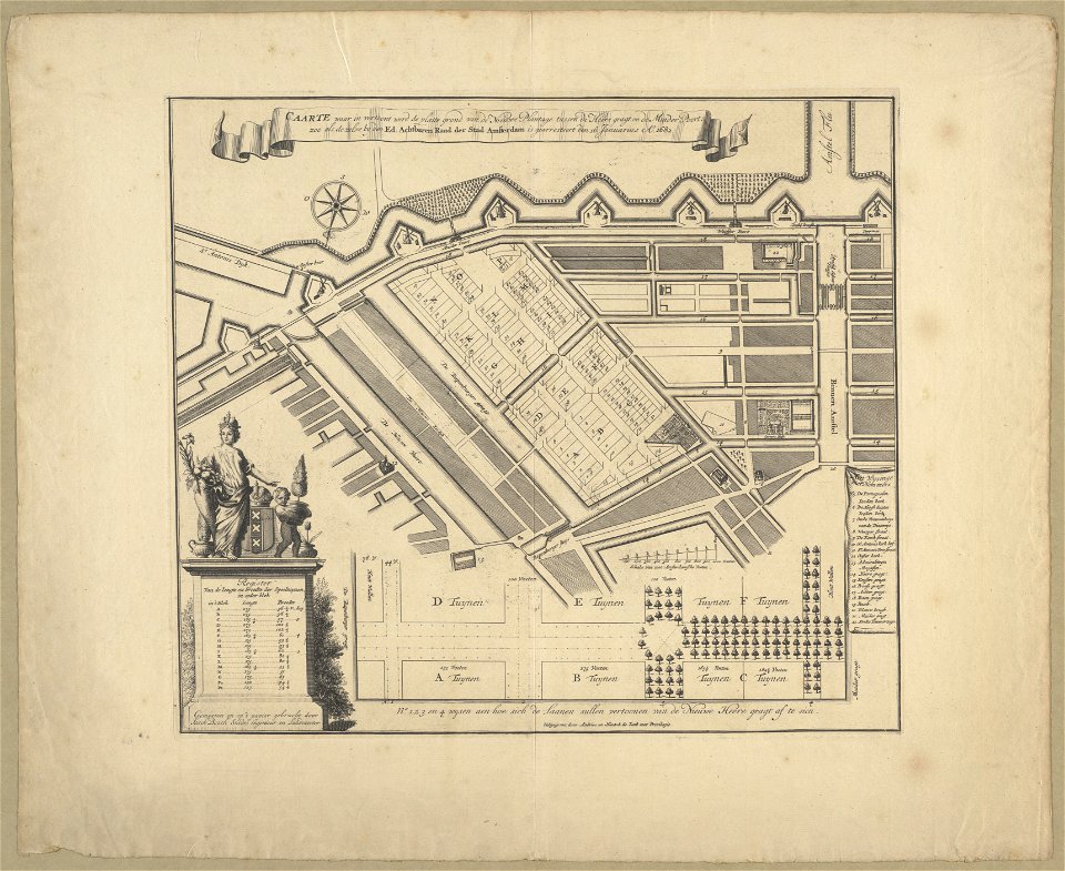
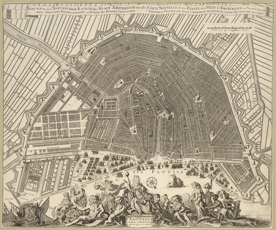
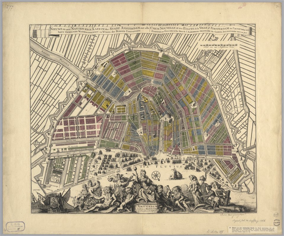
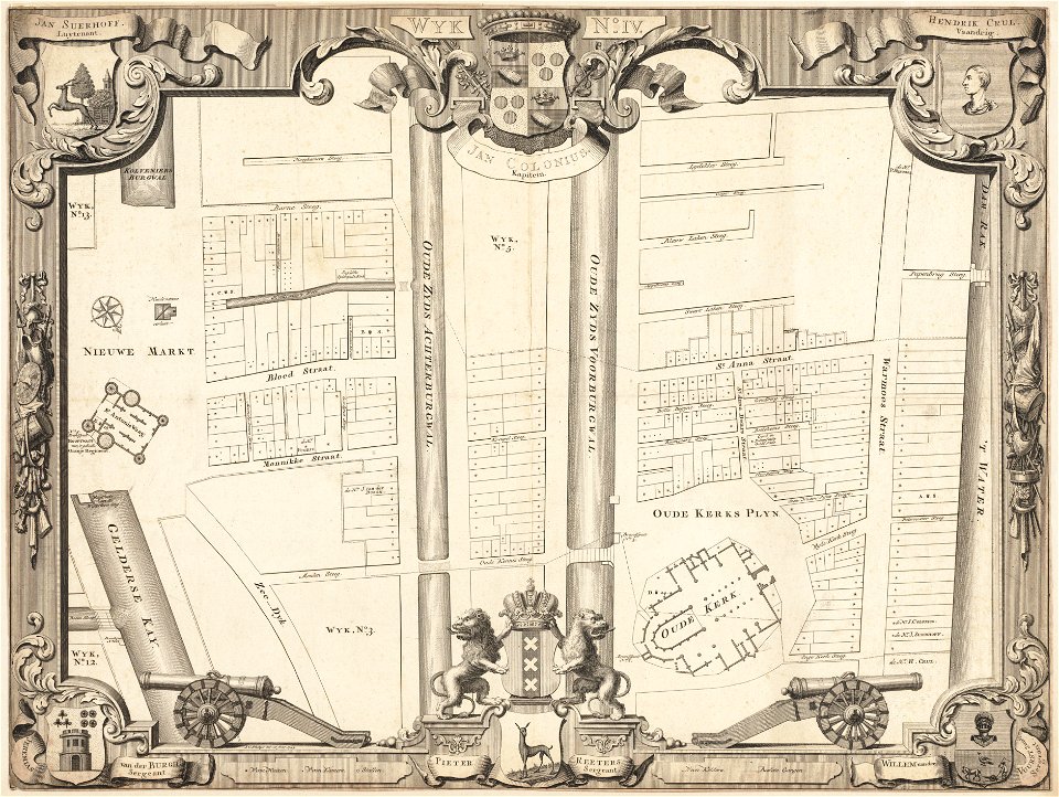
maps in the stadsarchief amsterdam
hendrik de leth
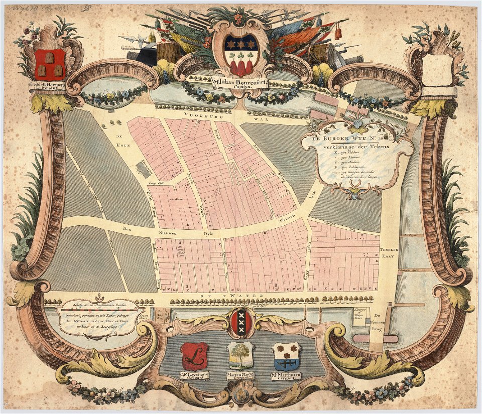
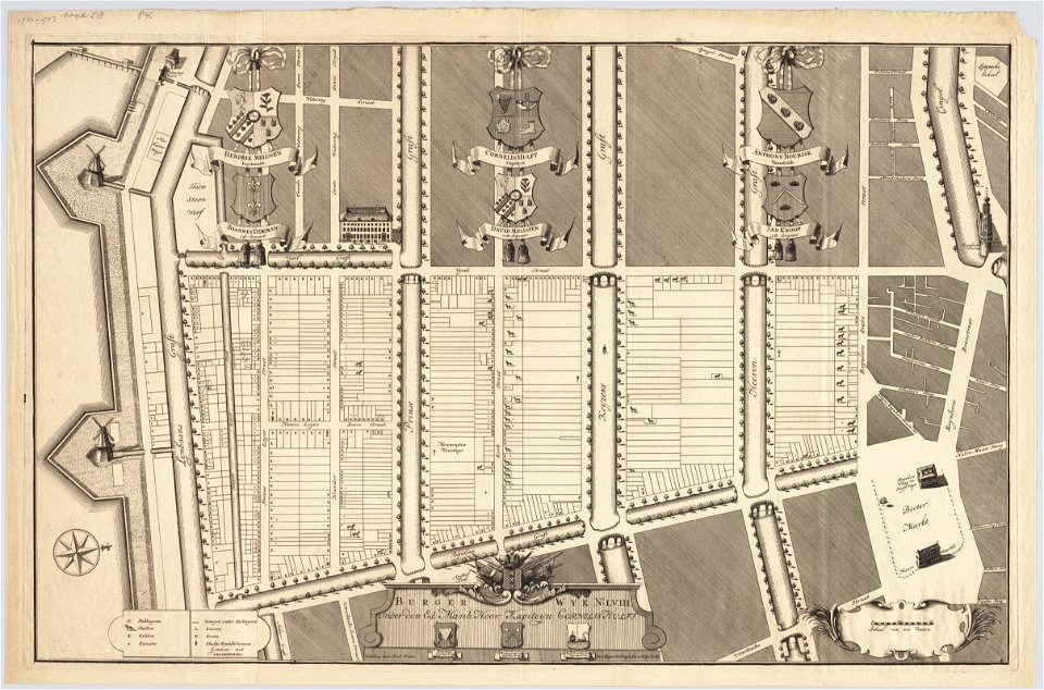
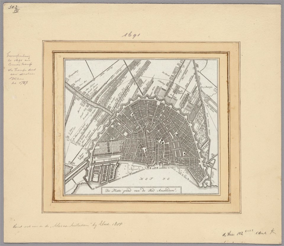
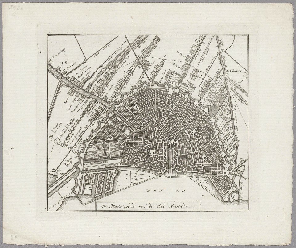
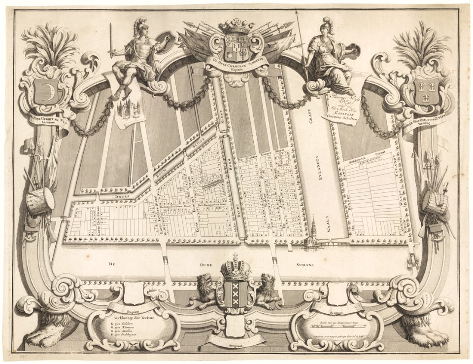
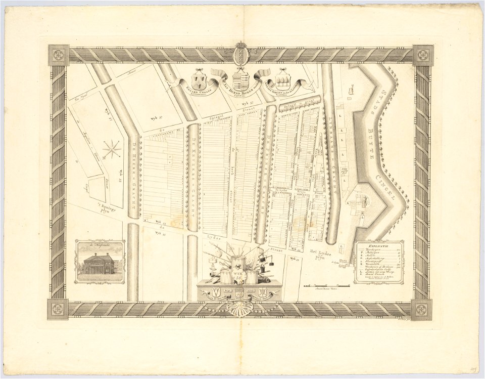
maps in the stadsarchief amsterdam
hendrik de leth
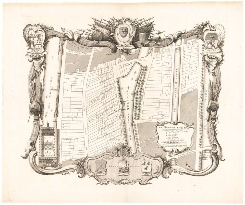
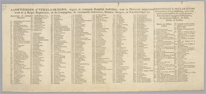
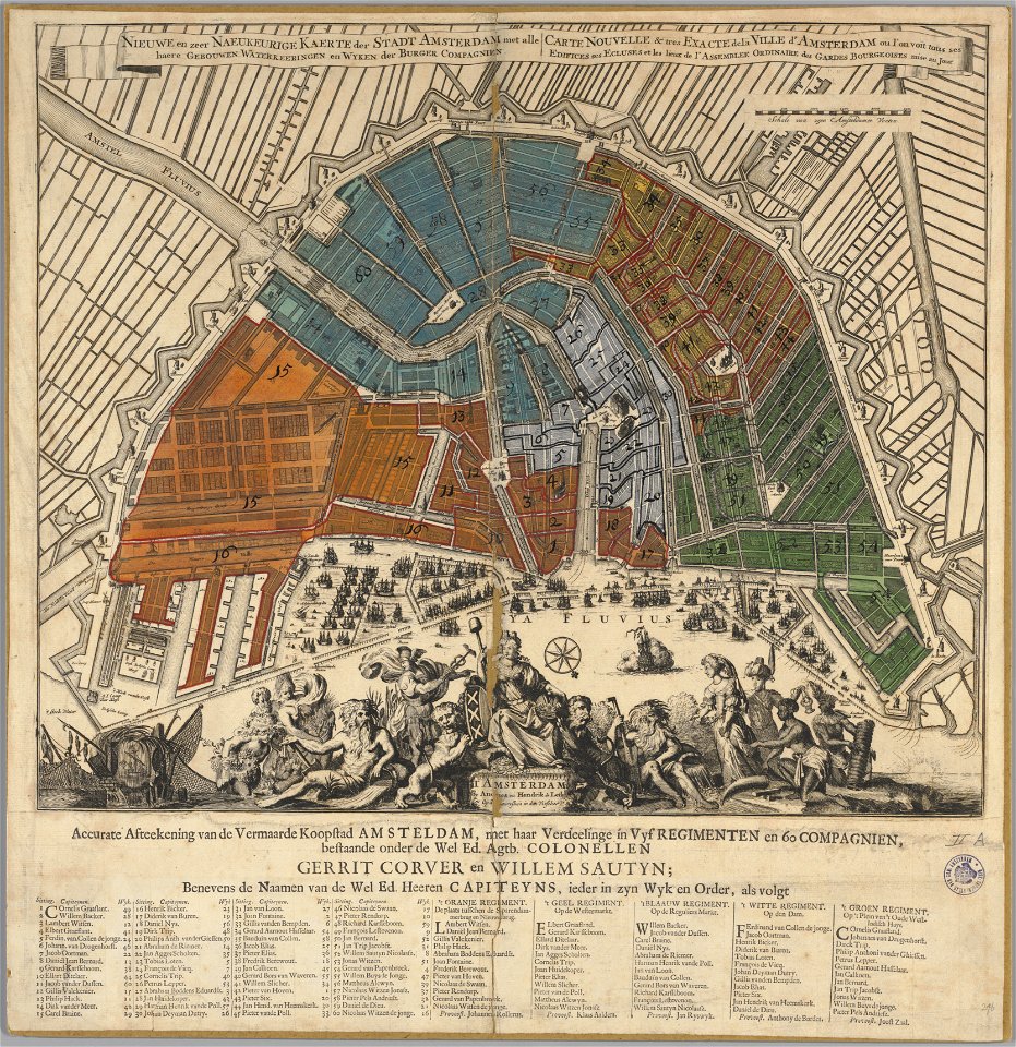
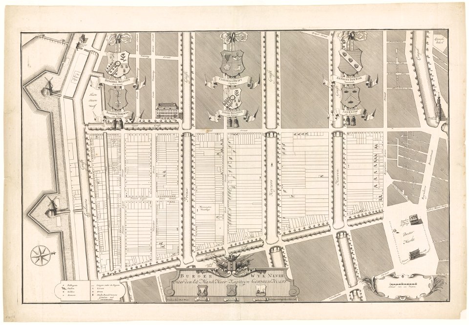
maps in the stadsarchief amsterdam
hendrik de leth
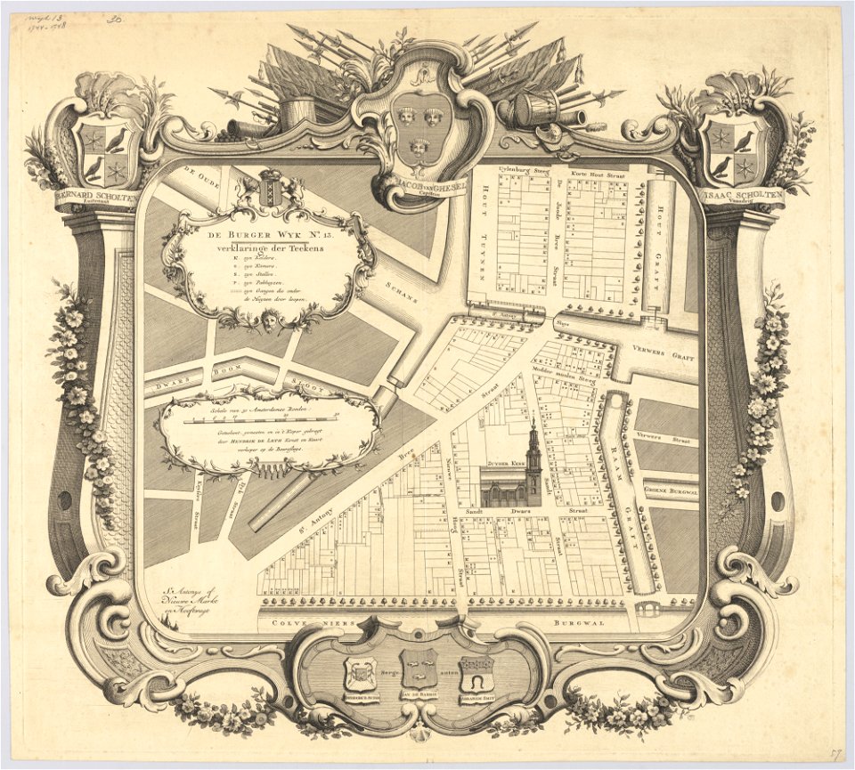
maps in the stadsarchief amsterdam
hendrik de leth
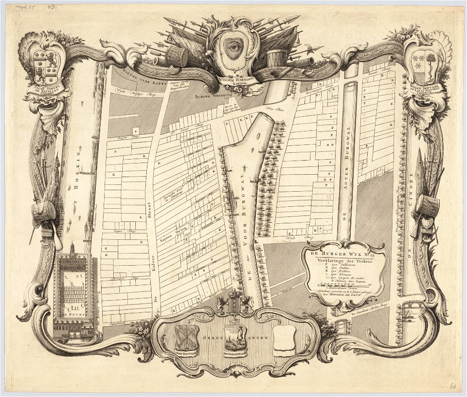
maps in the stadsarchief amsterdam
hendrik de leth
maps in the stadsarchief amsterdam
hendrik de leth
maps in the stadsarchief amsterdam
hendrik de leth
maps in the stadsarchief amsterdam
hendrik de leth
maps in the stadsarchief amsterdam
hendrik de leth
maps in the stadsarchief amsterdam
hendrik de leth
maps in the stadsarchief amsterdam
hendrik de leth
maps in the stadsarchief amsterdam
hendrik de leth
maps in the stadsarchief amsterdam
hendrik de leth
maps in the stadsarchief amsterdam
hendrik de leth
encyclopaedia universalis mundaneum
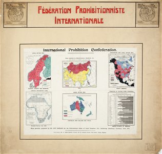
alcohol prohibition
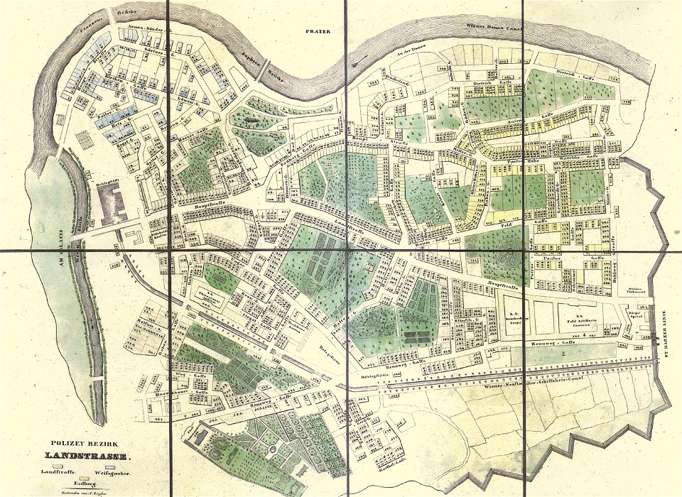
old maps of landstraße (vienna)
carl graf vasquez
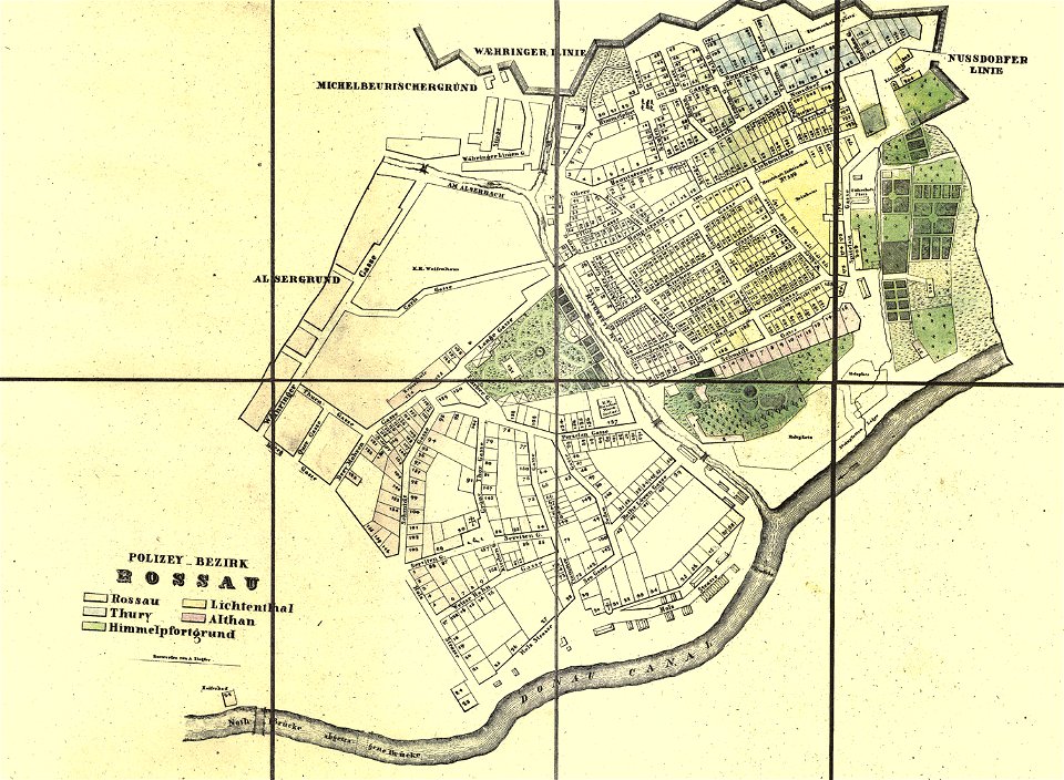
old maps of alsergrund
carl graf vasquez
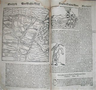
illustrations of cosmographia (münster)
1570s maps of egypt
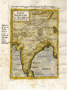
17th-century maps of india
description de l'universe
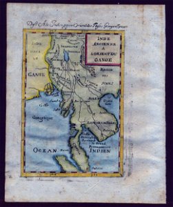
old maps of southeast asia
description de l'universe
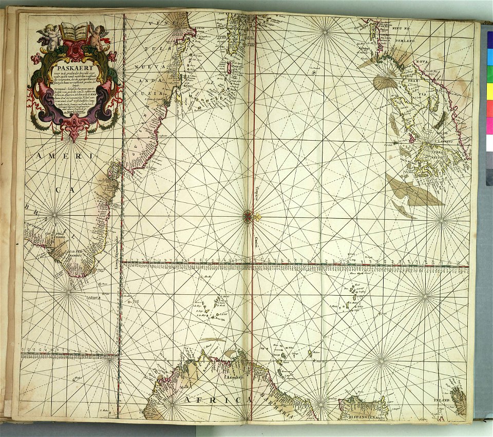
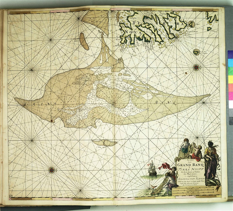
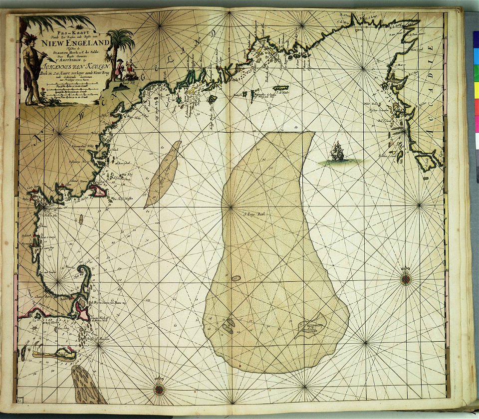
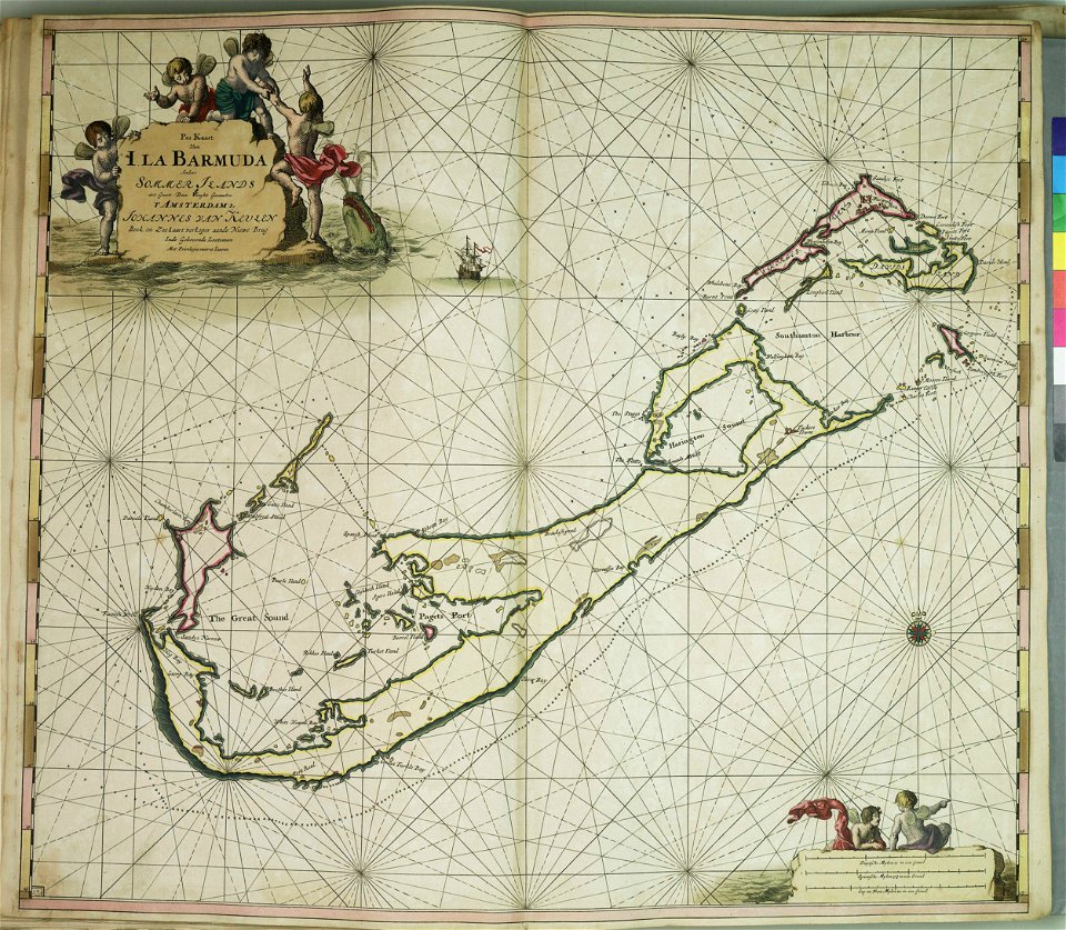
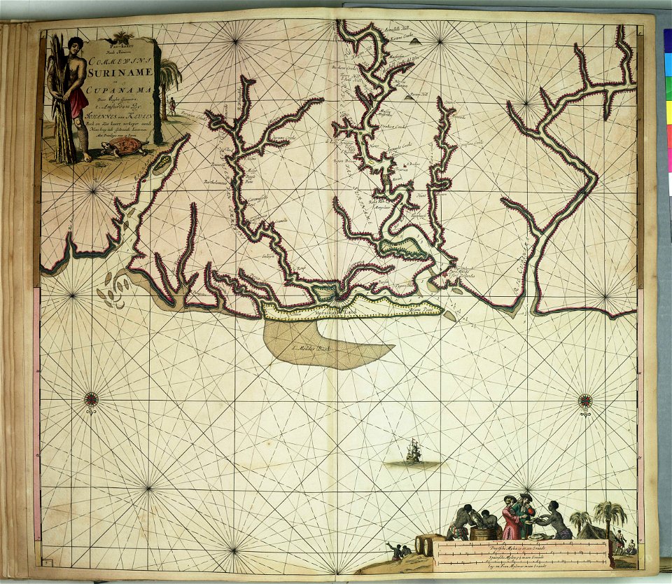
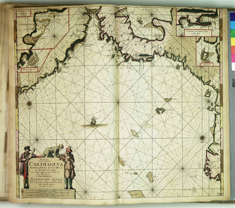
johannes van keulen
zuiderzeemuseum
maps in the stadsarchief amsterdam
hendrik de leth
maps in the stadsarchief amsterdam
hendrik de leth
maps in the stadsarchief amsterdam
hendrik de leth
maps in the stadsarchief amsterdam
hendrik de leth
maps in the stadsarchief amsterdam
hendrik de leth
maps in the stadsarchief amsterdam
hendrik de leth
maps in the stadsarchief amsterdam
hendrik de leth
maps in the stadsarchief amsterdam
hendrik de leth
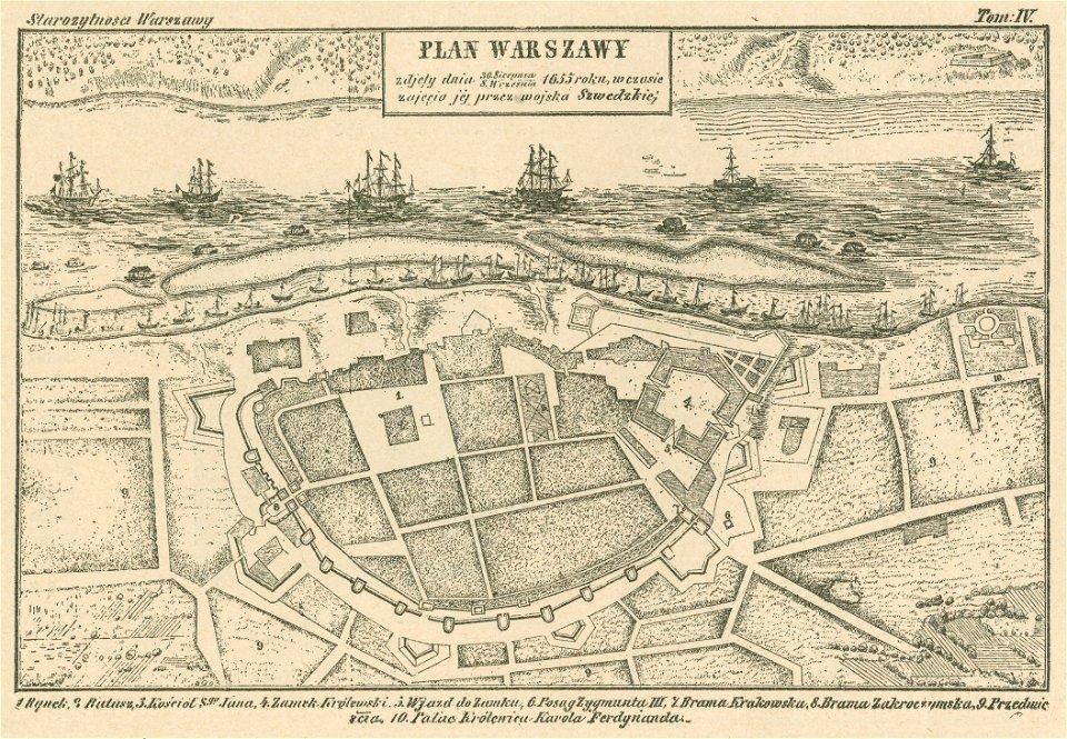
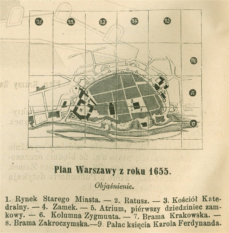
historical maps of warsaw
warsaw in the 1650s
historical maps of warsaw
warsaw in the 1650s
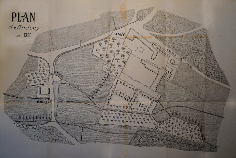
abbaye d'andecy
1890 in marne
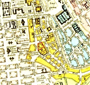
parts of old maps of berlin
königliche hauptbank
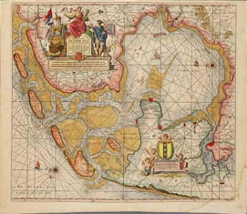
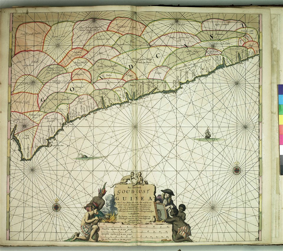
charts and maps of the royal museums greenwich
charts and maps of the royal museums greenwich
charts and maps of the royal museums greenwich
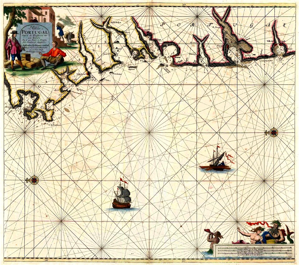
old maps of galicia (spain)
johannes van keulen
charts and maps of the royal museums greenwich
charts and maps of the royal museums greenwich
charts and maps of the royal museums greenwich
charts and maps of the royal museums greenwich
charts and maps of the royal museums greenwich
charts and maps of the royal museums greenwich
charts and maps of the royal museums greenwich
charts and maps of the royal museums greenwich
charts and maps of the royal museums greenwich
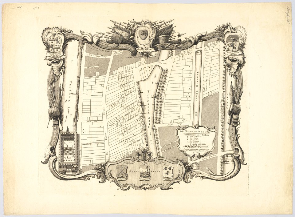
maps in the stadsarchief amsterdam
jan caspar philips
maps in the stadsarchief amsterdam
jan caspar philips
maps in the stadsarchief amsterdam
jan caspar philips
maps in the stadsarchief amsterdam
jan caspar philips
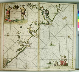
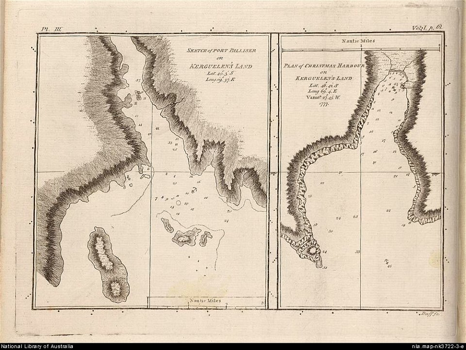
old maps of the kerguelen islands
port-christmas
description des principales villes (1690)
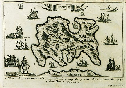
maps of bozcaada
charts and maps of the royal museums greenwich
charts and maps of the royal museums greenwich
charts and maps of the royal museums greenwich
charts and maps of the royal museums greenwich
charts and maps of the royal museums greenwich
provided by landsbókasafn íslands
old maps of iceland
charts and maps of the royal museums greenwich
popular science monthly illustrations/volume 11
astronomical maps
ducatus sleswici pars borealis
maps by johannes mejer
ducatus sleswici pars borealis
maps by johannes mejer
ducatus sleswici pars borealis
maps by johannes mejer
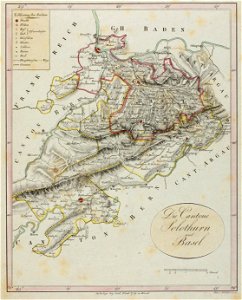
historical images of solothurn
old maps of switzerland
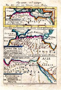
description de l'universe
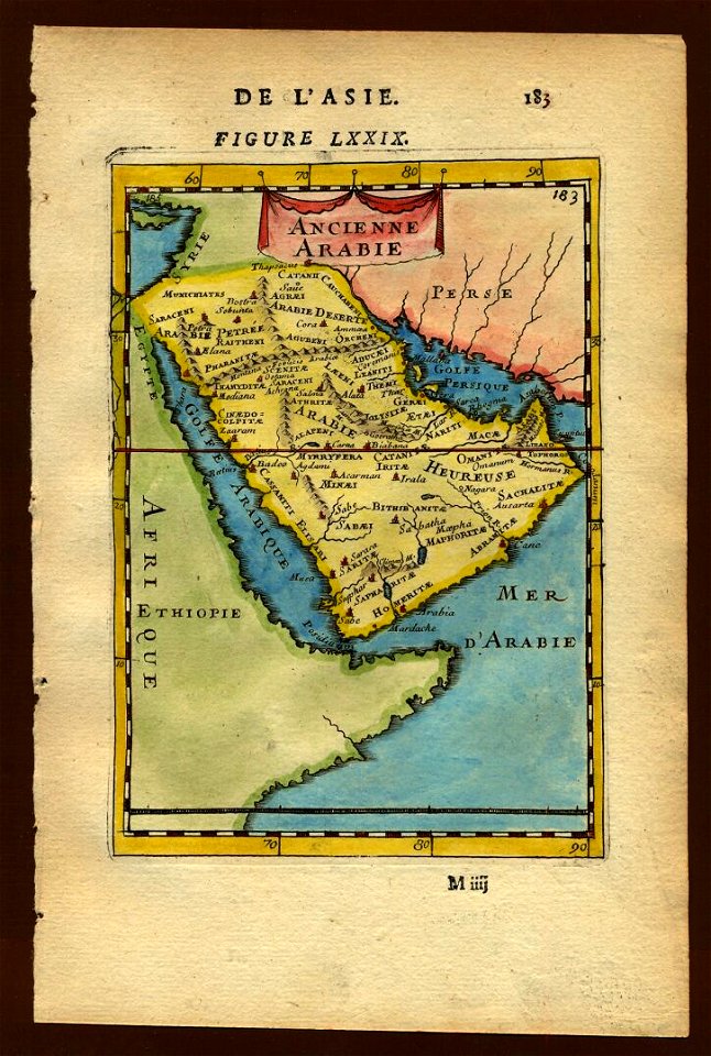
old maps of saudi arabia
description de l'universe
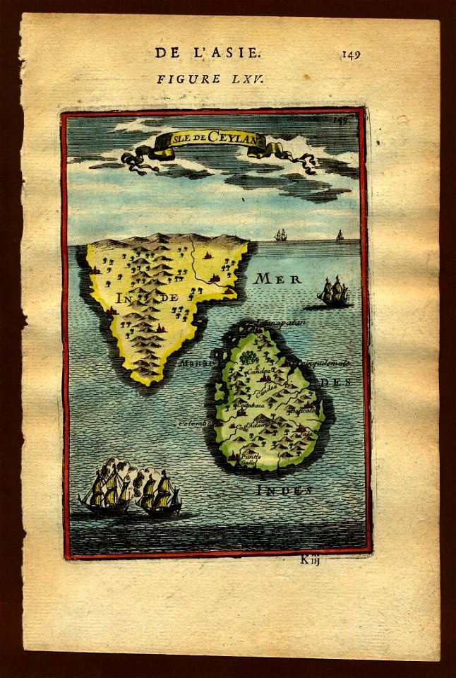
old maps of sri lanka
geographical illustrations by coronelli
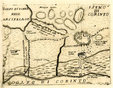
maps of ancient corinth
description de l'universe
old maps of saudi arabia
ducatus sleswici pars borealis
maps by johannes mejer
maps by sebastian münster
ptolemy's 11th asian map
ptolemy's 9th european map
maps by sebastian münster
maps by sebastian münster
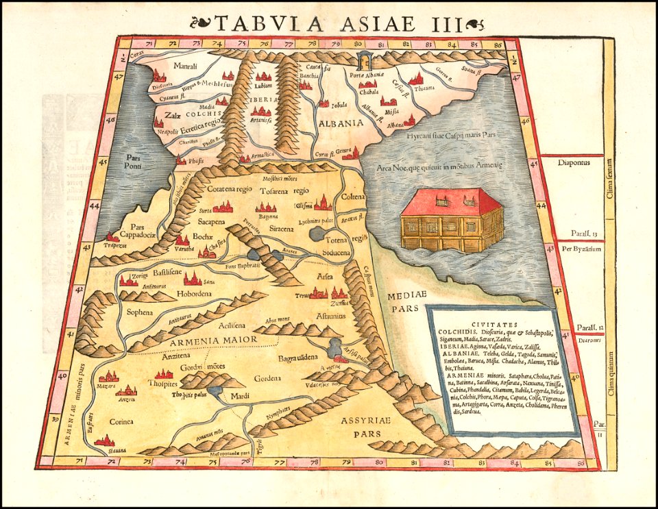
ptolemy's 1st asian map
maps by sebastian münster
ptolemy's 3rd asian map
maps in the stadsarchief amsterdam
hendrik de leth
maps in the stadsarchief amsterdam
hendrik de leth
liverpool
debunking
flags of europe and of the european union member states
national flag of austria with other flags
maps from the mechanical curator collection available to georeference
maps from the mechanical curator collection
maps from the mechanical curator collection available to georeference
maps from the mechanical curator collection
maps from the mechanical curator collection available to georeference
maps from the mechanical curator collection
paintings in the taganrog art museum
dmitri sinodi-popow
maps in the library of congress
novus atlas sinensis
carta hydrographica y chorographica de las yslas filipinas
baroque painting
list of works by vincent van gogh
van gogh's family in his art
women with books in art
round picture
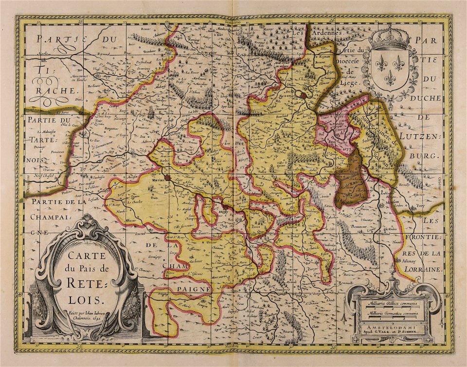
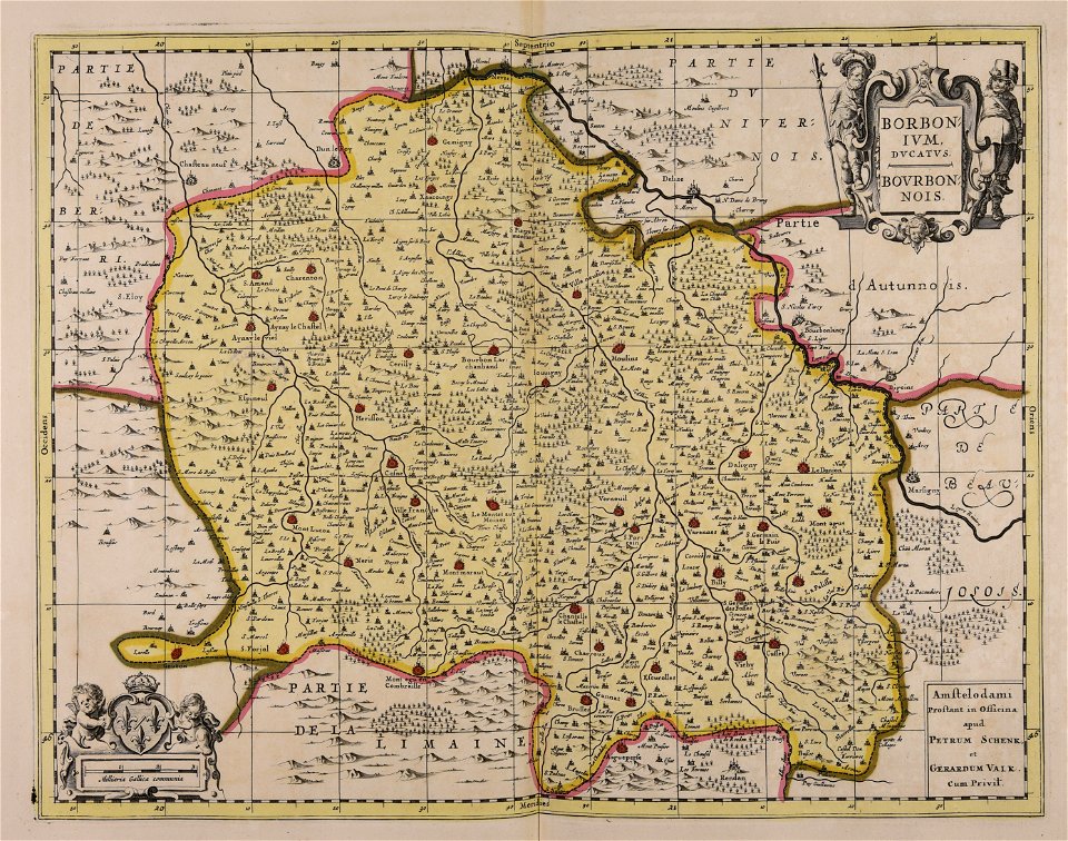
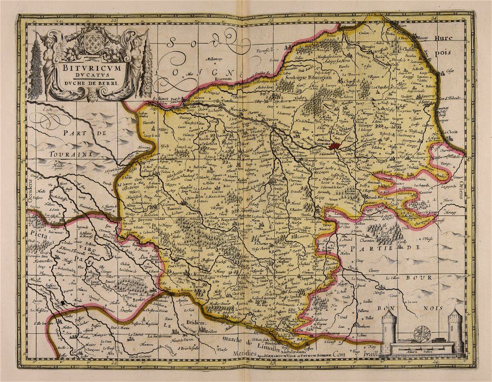
maps made in the 17th century
gerard valck
maps made in the 17th century
gerard valck
maps made in the 17th century
cornelis danckerts (ii)
maps made in the 17th century
gerard valck
sala del mappamondo (palazzo vecchio)
ignazio danti
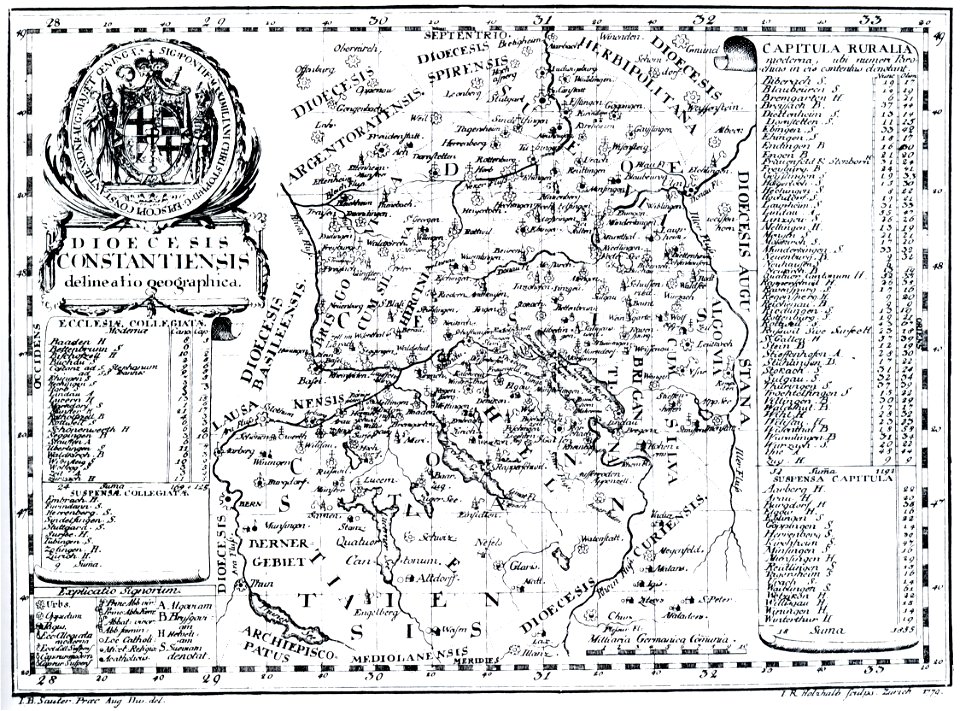
bishopric of constance
1779 in germany
georg balthasar probst (1732-1801)
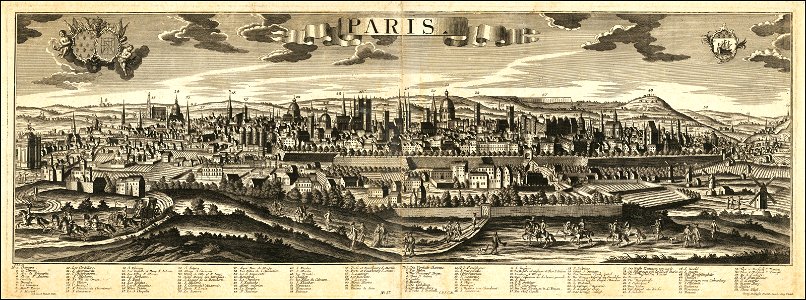
historical views of paris
maps made in the 17th century
gerard valck
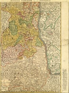
collections de la bibliothèque nationale et universitaire de strasbourg
johann baptist homann
mobile river
alabama
maps made in the 17th century
gerard valck
maps made in the 17th century
gerard valck
maps made in the 17th century
gerard valck
maps made in the 17th century
gerard valck
7001 - 7100 of 183,459
Next page
/ 1835